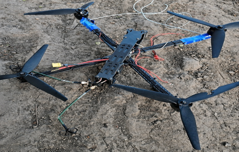
In every field exercise we’ve supported, one insight keeps repeating itself: the electromagnetic environment tells a story long before drones appear in the sky.
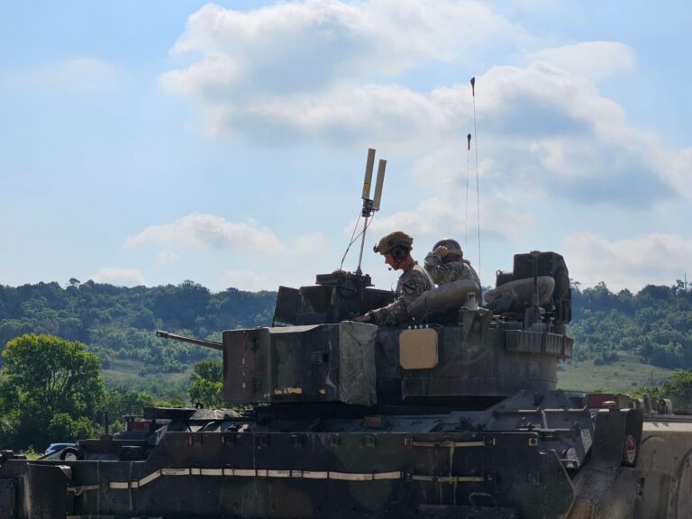
Mission-critical radios, communications systems, and even Wi-Fi networks all generate persistent RF energy. Even when units are camouflaged, encrypted, and dispersed, their wireless activity creates a footprint that can be passively mapped.
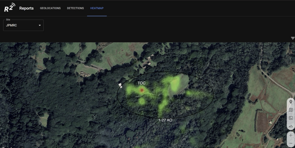
RF heat-maps routinely reveal where communications cluster and how units maneuver digitally. When detected beyond the Forward Line of Troops (FLOT), these maps provide more than situational awareness – they provide targeting information.
ODIN creates this mapping passively, at the tactical edge. No transmissions – just understanding what the battlefield is already revealing.
Whether positioned as stationary sensors, vehicle-mounted systems, or payloads on airborne or ground autonomous vehicles, ODIN enables warfighters to dominate the wireless spectrum and use it to their advantage.
Read here